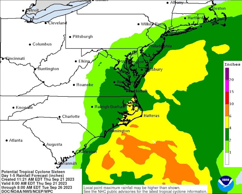
National Weather Service graphic shows the amount of soaking rain expected from the storm.
The entire region is bracing for a nor’easter that will impact Sea Isle City starting Friday night (Sept. 22) and lasting into Sunday (Sept. 24).
The most significant impacts will be moderate tidal flooding, several inches of rain, and strong gusty winds, according to Sea Isle’s Office of Emergency Management.
The high tide of most concern will occur Saturday afternoon at approximately 4 p.m. and continue into the early evening hours.
Moderate flooding is expected, but heavy rains at the time of high tide may worsen the flood levels that are encountered.
If your vehicle is parked in a low-lying area, please take precautions and move it to higher ground prior to high tide. One of the higher locations recommended by the Office of Emergency Management is the Sea Isle Library parking lot at 48th Street and Central Avenue.
Do not drive through tidal floodwaters, as salt water will damage your car and you may stall out in the middle of the road. Also, the wake your vehicle creates from driving through floodwater may damage nearby property.
The National Weather Service has issued a Storm Watch for strong gusty winds approaching 50 mph. Please secure all outdoor patio furniture, trash cans and any other items that may be vulnerable to high winds.
If you need police assistance, call 609-263-4311. For emergencies, dial 9-1-1.


