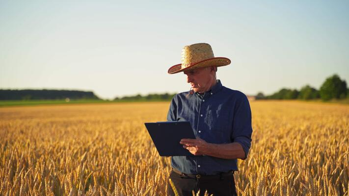
In recent years, the role of GIS in agriculture has become increasingly vital in reshaping how farming operations are managed and optimized. Geographic Information Systems (GIS) provide farmers, agronomists, and policymakers with powerful tools for analyzing spatial data, monitoring crop health, improving land-use planning, and making data-driven decisions. By integrating satellite imagery, drone data, and geospatial analysis, GIS supports precision farming techniques that enhance productivity, sustainability, and resilience in the face of climate change. This technology enables real-time insights into soil variability, irrigation management, and pest control, reducing waste while increasing yields.
GIS is fundamentally about the collection, storage, analysis, and visualization of spatial and geographic data. In agriculture, this translates into mapping fields, analyzing soil properties, predicting yields, and managing resources more effectively. Unlike traditional farming methods that rely heavily on generalized approaches, GIS empowers decision-making based on detailed, location-specific data.
For instance, soil moisture content, nutrient levels, and crop conditions can be analyzed at the micro-level. Farmers can then tailor interventions to specific areas of their fields rather than applying uniform treatments, leading to both cost savings and ecological benefits.
GIS enables the creation of detailed soil maps that identify variability across large tracts of land. By assessing soil texture, fertility, and drainage characteristics, farmers can make informed decisions about crop selection and land use. This ensures optimal productivity while maintaining soil health over time.
Water scarcity is one of the biggest challenges in agriculture. GIS-based hydrological models help design efficient irrigation systems by analyzing terrain, slope, and water flow. Farmers can monitor real-time water usage and adjust irrigation schedules to conserve water while ensuring crop hydration.
Through integration with remote sensing and drone imagery, GIS allows for the early detection of crop stress caused by pests, diseases, or nutrient deficiencies. By visualizing problem areas, farmers can act quickly to mitigate losses and prevent large-scale infestations.
GIS technology enables predictive modeling by combining historical yield data with current environmental conditions. These models provide accurate forecasts, helping farmers plan harvests, allocate resources, and optimize logistics.
GIS plays a crucial role in modeling the impacts of climate variability on agriculture. By analyzing long-term weather data, GIS supports adaptation strategies such as crop diversification, resilient seed selection, and optimized planting schedules.
The integration of GIS in agriculture extends beyond productivity gains—it also supports sustainability. By minimizing overuse of fertilizers, pesticides, and water, GIS-driven farming reduces environmental impacts and promotes soil conservation.
For example:
GIS does not work in isolation; it thrives in combination with other cutting-edge technologies:
Despite its potential, several challenges hinder the widespread adoption of GIS in agriculture:
Overcoming these challenges requires government support, capacity-building initiatives, and partnerships between agricultural stakeholders and technology providers.
As global food demand rises and climate conditions become more unpredictable, GIS will be indispensable for sustainable agricultural development. The future of farming will likely be defined by “smart agriculture,” where geospatial intelligence integrates seamlessly with robotics, automation, and advanced analytics.
Emerging innovations include:
These advancements promise to empower farmers with the tools needed to maximize efficiency, minimize risk, and ensure long-term food security.
The adoption of GIS in agriculture represents a paradigm shift toward data-driven, sustainable, and resilient farming. By enabling precise land management, optimizing resource allocation, and supporting climate adaptation strategies, GIS technologies are shaping the future of agriculture worldwide. Although challenges remain in terms of accessibility and cost, the long-term benefits far outweigh the obstacles.
For readers interested in exploring this subject further, it is recommended to read the article Leveraging GIS Technologies In Modern Agriculture which provides additional insights into the transformative impact of GIS on modern farming practices.


