Navigating the open waters has always been challenging, requiring skill, knowledge, and the right tools. Traditional methods, such as paper charts and sextants, while reliable, demanded extensive training and experience. Today, however, digital technology has revolutionised marine navigation, making it more accessible and user-friendly.
The key to this transformation lies in top marine navigation apps, which have become indispensable tools for both seasoned sailors and newcomers alike. In this blog post, we'll explore how marine navigation apps simplify navigation and highlight some of the top marine navigation apps available today.
Numerous marine navigation apps are available, each with its unique set of features. Here are some of the top marine navigation apps that stand out in the industry:
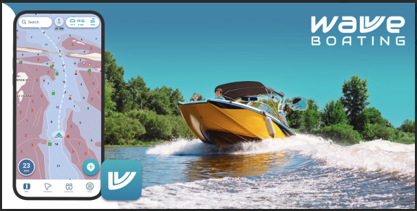
Regarding marine navigation, Wavve Boating stands out as a top choice for novice and seasoned boaters. Known for its user-friendly interface and crowd-sourced map data, Wavve Boating makes navigating waterways easy and intuitive.
Whether planning a day trip or a longer voyage, this app provides real-time information on water depths, hazards, and popular boating destinations, ensuring a smooth and enjoyable experience on the water.
Navionics is one of the most popular marine navigation apps, known for its extensive chart coverage and detailed information. It offers high-quality electronic charts, real-time GPS tracking, and many navigation tools.
The app also includes features like automatic chart updates and weather forecasts. Its user-friendly interface and robust functionality make it a top choice for recreational sailors and professional mariners.
iNavX is another highly regarded marine navigation app that provides access to various chart types, including NOAA and UKHO charts. It features real-time GPS tracking, route planning, and a range of customization options.
The app also supports AIS integration and offers detailed weather information. Its versatility and comprehensive chart library make it a popular choice among experienced sailors.
Garmin ActiveCaptain is an app designed to complement Garmin’s range of marine electronics. It provides access to detailed charts, real-time GPS tracking, and integrated weather data.
The app also includes community-driven content, such as user reviews and local knowledge, which can be invaluable for planning trips. Its seamless integration with Garmin devices and extensive chart library make it a strong marine navigation app market contender.
C-Map offers a range of marine navigation features, including high-resolution charts, real-time GPS tracking, and advanced route planning tools. The app provides detailed information on marine hazards, navigational aids, and points of interest.
It also includes weather updates and tide information. C-Map’s comprehensive chart coverage and advanced features make it a top choice for serious sailors and navigators.
Marine navigation apps simplify the navigation process in several key ways:
Marine navigation apps consolidate a wealth of information into a single platform. This includes electronic charts, weather updates, tide tables, and AIS data. Having all this information readily accessible makes planning and executing safe voyages easier.
The ability to access real-time data is a game-changer. Apps provide up-to-date information on your position, weather conditions, and nearby vessels, allowing you to make informed decisions and adjust your course as needed.
Modern marine navigation apps are designed with user-friendly interfaces that make complex navigation tasks easier. Features like route planning, waypoint setting, and chart navigation are simplified, reducing the learning curve and making advanced tools accessible to all users.
By providing detailed information on hazards, weather conditions, and other vessels, marine navigation apps enhance safety on the water. Features like AIS help prevent collisions, while weather updates allow you to avoid dangerous conditions.
With a marine navigation app, you don’t need to carry bulky paper charts or navigate with cumbersome instruments. Everything you need is available on your smartphone or tablet, making navigation more convenient and efficient.
Top marine navigation apps have revolutionised how we navigate the waters, making it easier, safer, and more efficient than ever before. These apps provide a comprehensive navigation solution at your fingertips, offering features such as electronic charts, real-time GPS tracking, weather updates, and AIS integration.
Whether you’re a seasoned sailor or just starting, incorporating a marine navigation app into your toolkit can significantly enhance your maritime experience. With the right app, you can confidently navigate, explore new waters, and ensure a safer voyage.
So, explore the top marine navigation apps, find the one that best fits your needs, and set sail with modern technology's ease and precision.