
After several days of heat and humidity, we turn to more comfortable weather. A backdoor cold front has moved through switching winds to the easterly direction allowing for "cooler" air to dominate the region. Temperatures will hold in the 70s and humidity will drop. A mix of sun & clouds is expected for Wednesday. UV index will still be very high.
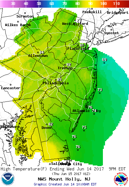 Forecast Highs Wednesday
Thursday remain comfortable under mostly sunny skies. Temperatures will remain in the low 70s as easterly breezes will continue. However, UV index will be very high.
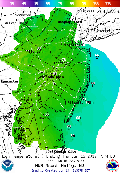 Forecast Highs Thursday
Unsettled weather begins Friday as a frontal boundary begins to push back northward bringing an increase in humidity and the threat of showers or t'storms. The timing of the showers or t'storms is in question. UV index will be moderate due to the amount of cloud coverage.
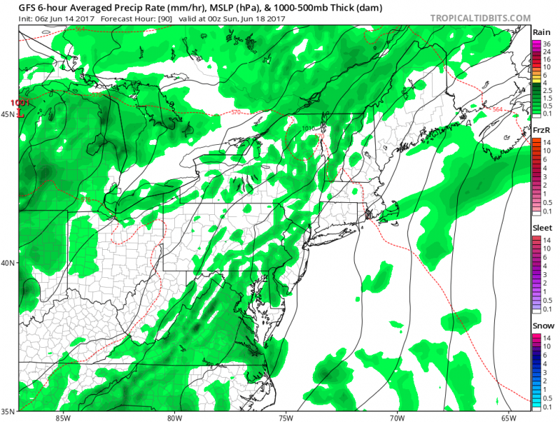
Computer models show scattered showers across the Northeast U.S. (Courtesy:tropicaltibits.com)
Temperatures this weekend will climb back into the upper 70s to low 80s. Overall the weekend should be ok but we will have to keep an eye out for any showers or t'storms that could our outdoor plans.


