
 Our long dry stretch spanning nearly 2 weeks has come to an end. A frontal system interacting with tropical moisture associated with former Tropical Storm Julia off the Southeast Coast is going to give us a good soaking on Monday. The potential for heavy rain is possible which could cause street flooding on Monday. However, the location of the heaviest rain is still in question. Most computer models have the heaviest rain to our west.
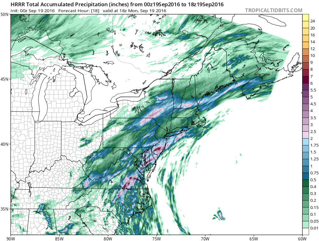 Hi-resolution model is giving us 1"-2" of rain with the heaviest in Interior South Jersey over 2"+.
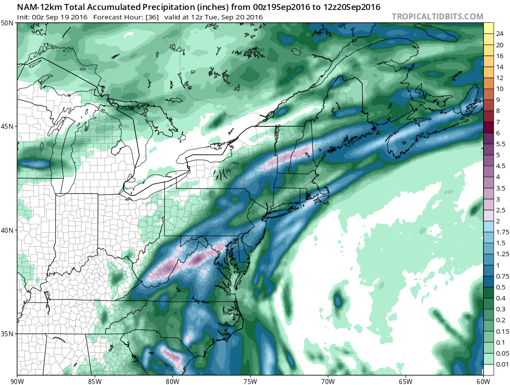 Another model shows generally under 1" of rain with over 1"+ over much of Southern and Central NJ
 Unsettled weather will continue through Tuesday. High pressure will build in by Wednesday and give us another stretch of dry and pleasant weather with temperatures around 80 through Saturday.


