After a quiet period in the tropics, it looks as if the hurricane season could be getting back on track. This year's hurricane season started out busy with four named storms. But that all ended in late June. Despite the very warm waters spanning across the Atlantic Ocean, Carribean and Gulf of Mexico, which adds fuel to tropical systems, its been tough for any tropical disturbances to get going.
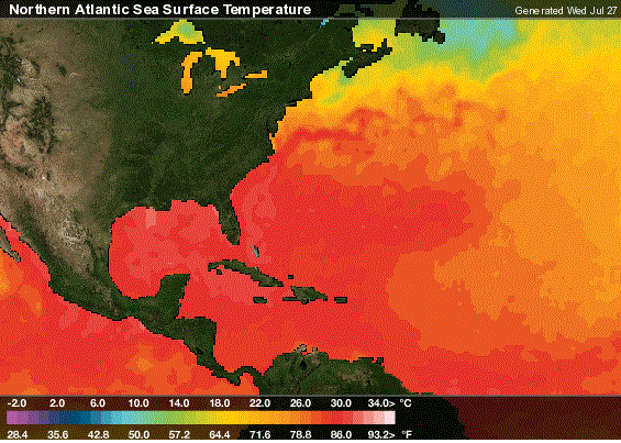 Sea Surface Temperatures Show The Vast Amount Of Warm Ocean Waters (80 degrees+) To Help Develop and Sustain Tropical Systems
A couple of main contributing factors that lead to a quiet period- a large high pressure system sprawled out across the Atlantic Ocean plus a continuous feed of dry air caused by Saharan dust off the African coast.
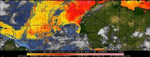 Yellow/Red on map shows Saharan Dust over Eastern Atlantic Ocean keeping a lid on tropical development.
Historically, July is usually fairly quiet but as we move into August and Early September, tropical activity increases rapidly. As we move into the heart of the hurricane season, series of waves will exit the African coast and some of them can form into tropical systems.
However, there is a wave off the African Coast has a potential of becoming a tropical depression or tropical storm over the several days. However, overall conditions are not ideal for the tropical disturbance to develop into a significant tropical storm or hurricane. But this system could be the beginning in helping future disturbances coming off the African Coast.
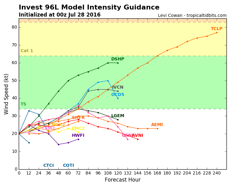 Intensity forecast generally keeps system from becoming a named storm.
We also have been watching the development of La Nina. Latest forecasts suggest La Nina may not be as strong during peak hurricane season. As a result, this could lower the chance of an above average hurricane season. Regardless, we still must stay on guard over the next couple of months as we head into the peak hurricane season. Remember, it only take one storm.
 Sea Surface Temperatures Show The Vast Amount Of Warm Ocean Waters (80 degrees+) To Help Develop and Sustain Tropical Systems
A couple of main contributing factors that lead to a quiet period- a large high pressure system sprawled out across the Atlantic Ocean plus a continuous feed of dry air caused by Saharan dust off the African coast.

 Intensity forecast generally keeps system from becoming a named storm.
We also have been watching the development of La Nina. Latest forecasts suggest La Nina may not be as strong during peak hurricane season. As a result, this could lower the chance of an above average hurricane season. Regardless, we still must stay on guard over the next couple of months as we head into the peak hurricane season. Remember, it only take one storm.