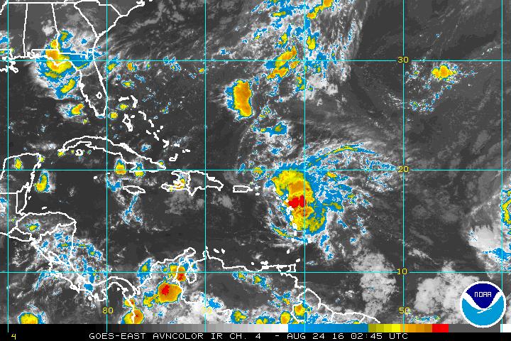
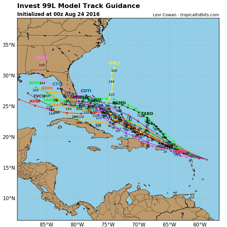
 We have entered the peak of hurricane season and its getting quite busy. So far this season we have had not any threats of tropical systems affecting the U.S. mainland. Until now. A disturbance near the Lesser Antillies has a good chance of developing into a tropical storm later this week, which will take on the name Hermine. This system will struggle to develop as it is encountering dry air and wind shear which will keep it from intensifying rapidly. But as it moves into the Bahamas on Friday, conditions will become more favorable for development. By the weekend, it is expected be approaching Florida. It is too soon to tell if Hermine will reach hurricane strength or remain a tropical storm before landfall.
Regardless, all interests in Florida should monitor the future track of this system. It has been a long time since a hurricane has struck the Florida coastline. The last hurricane to strike Florida was Hurricane Wilma back in 2005, over 10 years ago.
 Computer models show Hermine possibly tracking towards Southern Florida and then into the Gulf of Mexico.
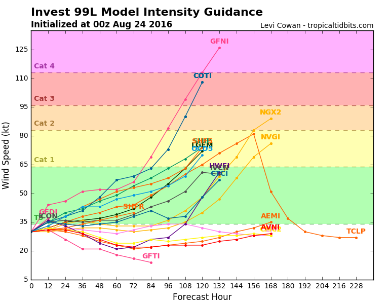
 Some Computer models show Hermine reaching hurricane strength by the weekend.
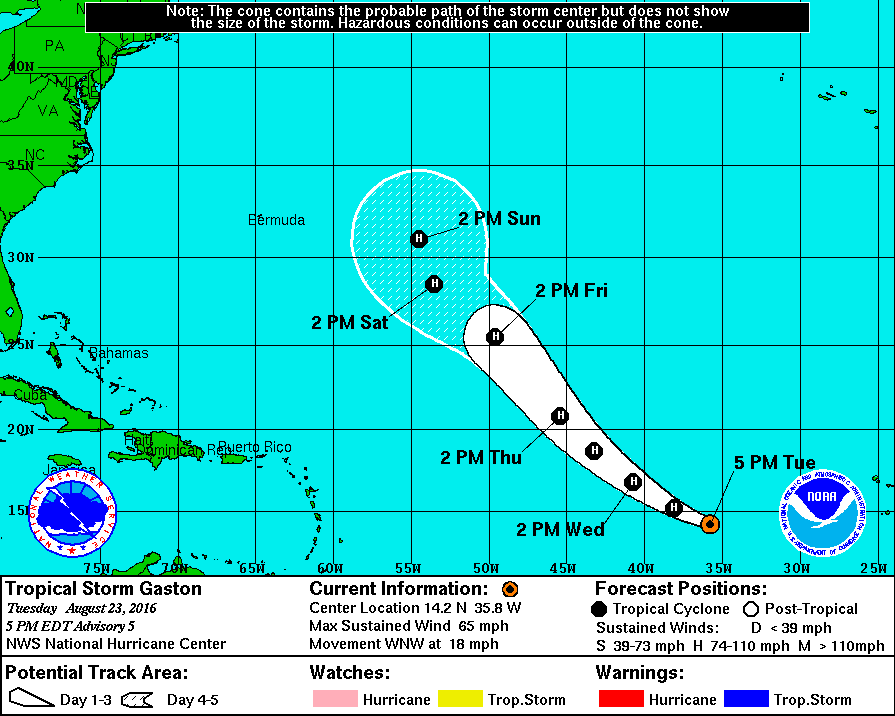
Another storm in the Atlantic is Gaston which will become a hurricane. However, Gaston is no threat to the U.S. mainland and will remain far out in the Atlantic through the weekend.
